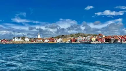
Ramsvikslandet is a nature reserve on the west coast, nicknamed the 'Kingdom of the Rocks'. And indeed, it is a kingdom full of rocks always! If you appreciate beautiful and coastal nature, this is the place for you!
Table of contents
Ramsvik country
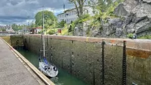
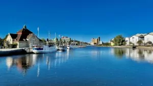
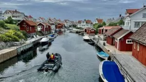
Ramsvikslandet is part of Sotenäset and was a peninsula until the 1930s, when the Sote Canal was excavated. Ramsvikslandet thus became an island, which today is connected to the mainland by a swing bridge.
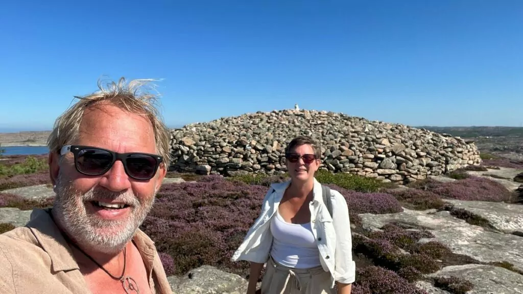
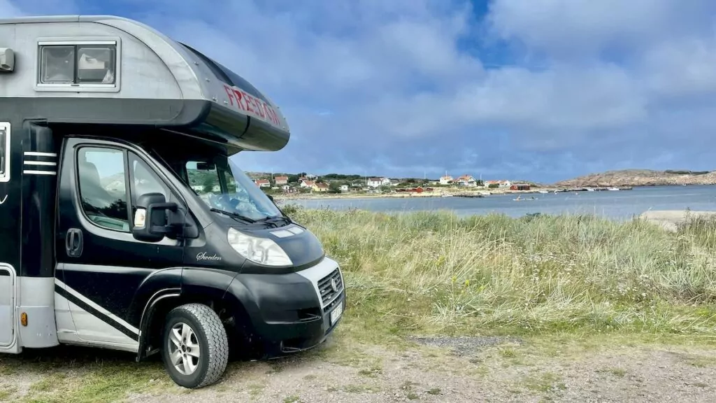
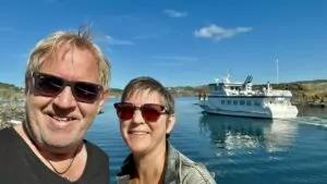
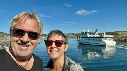
We took our campervan to Ramsvik country, where we walked a hiking trail and checked out the mighty tomb of Viking King Tryggve.
Ramsvikslandet is located between Smögen and Hunnebostrand, in Bohuslän on the west coast of Sweden.
Getting to Ramsvik Land - across the Sote Canal
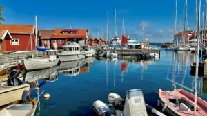
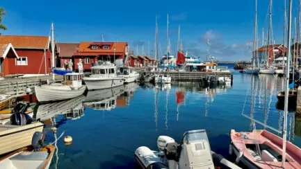
Since we went to Ramsvikslandet with our motorhome, we had to cross the Sote Canal. This is done via a small swing bridge, which has to be opened again and again to let all the sailboats with high masts pass. Charming!
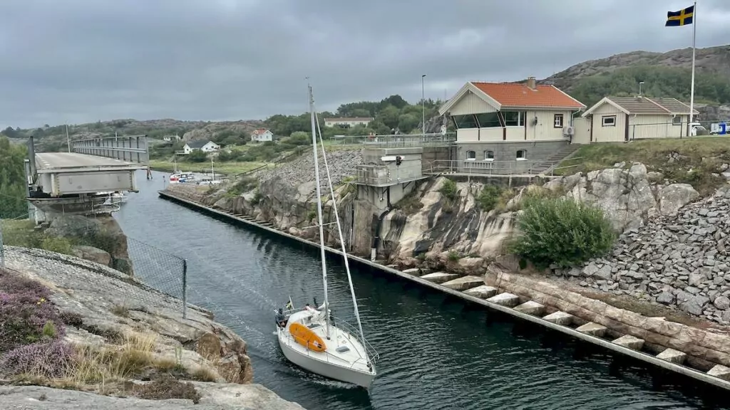
On the other side of the bridge you can choose to go right or left, depending on where you are going. For us it was right one day and left the other day ...
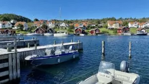
Ramsvik cottage village & camping
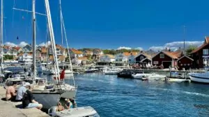
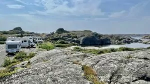
The first day we drove past Ramsvik stugby & camping, which is nicely located by the water. "Full" was written on a sign before we even arrived, so we knew we would not be able to spend the night there. In the nature reserve, you are not allowed to stand in the car parks at night, so we were prepared for only a day trip.
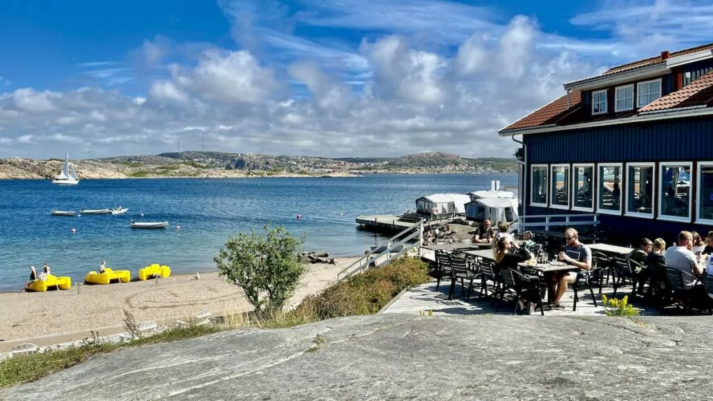
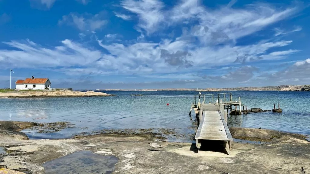
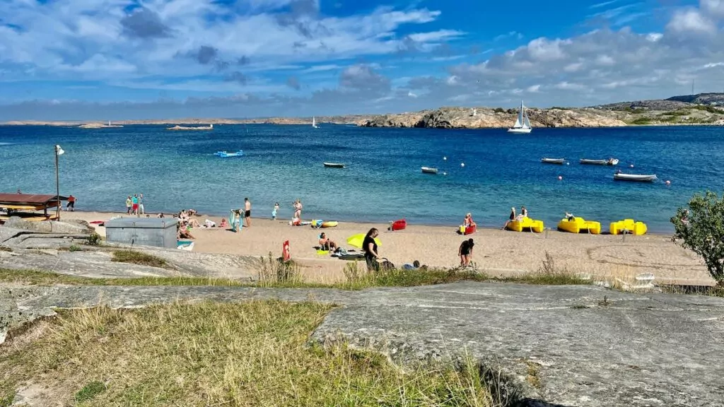
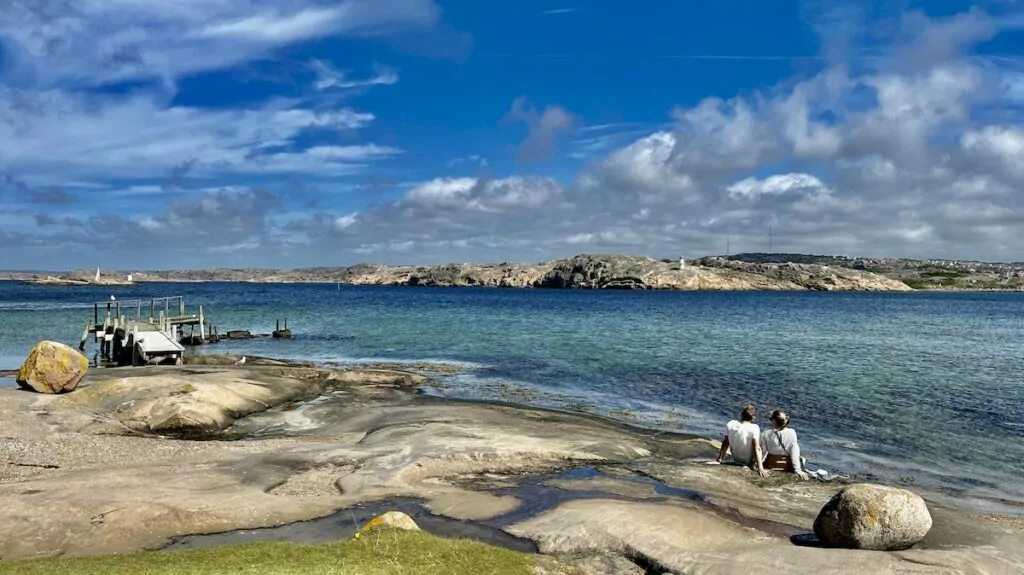
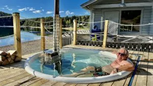
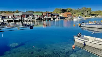
Next to the campsite is a very nice bathing area with a sandy beach, rock pool and jetty.
Hiking in Ramsvik country - trails and attractions
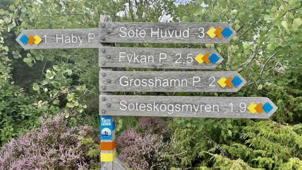
As well as going to Ramsvikslandet to camp or swim, many people come here to hike. Here you will find some of the trails:
If you want, there are also a few different sights to check out along the trails. These include two caves (the cave at Öberg Tånge and the cave at Tryggö), a number of giant pots, various traces of the ice sheet and, of course, King Tryggve's grave. You can also visit the sites of Grosshamn and Fykan.
Hiking in Ramsvik country - white trail
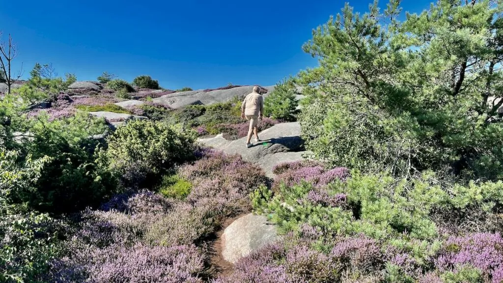
We chose to take the white trail at Tångevik, which is four kilometres long. We therefore parked nearby, and set off.
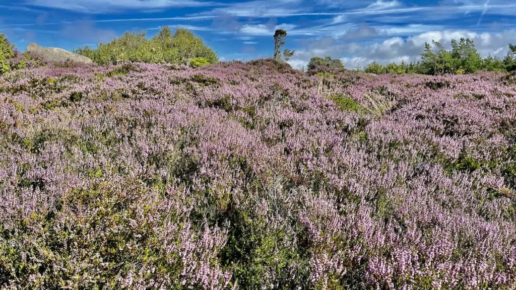
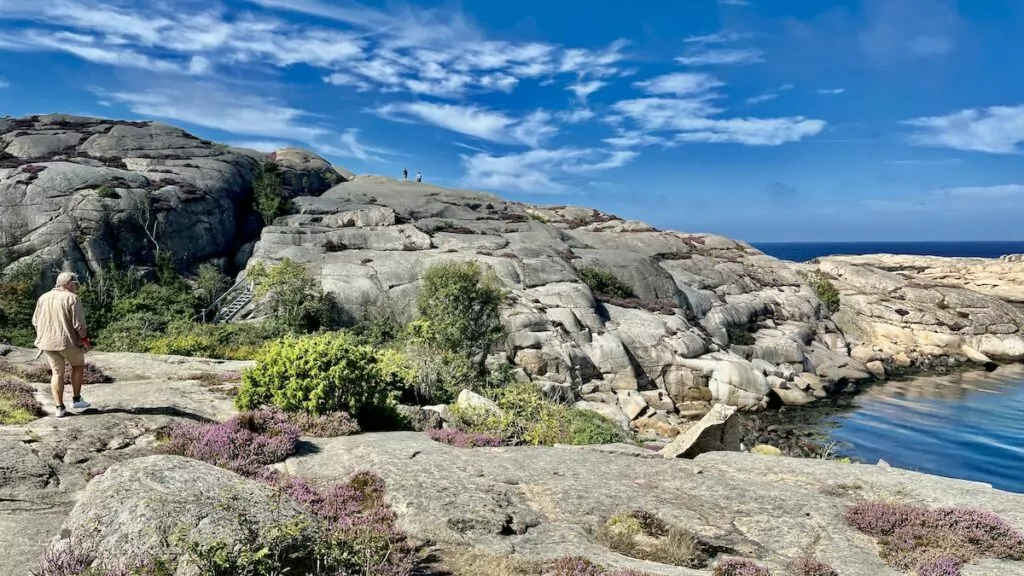
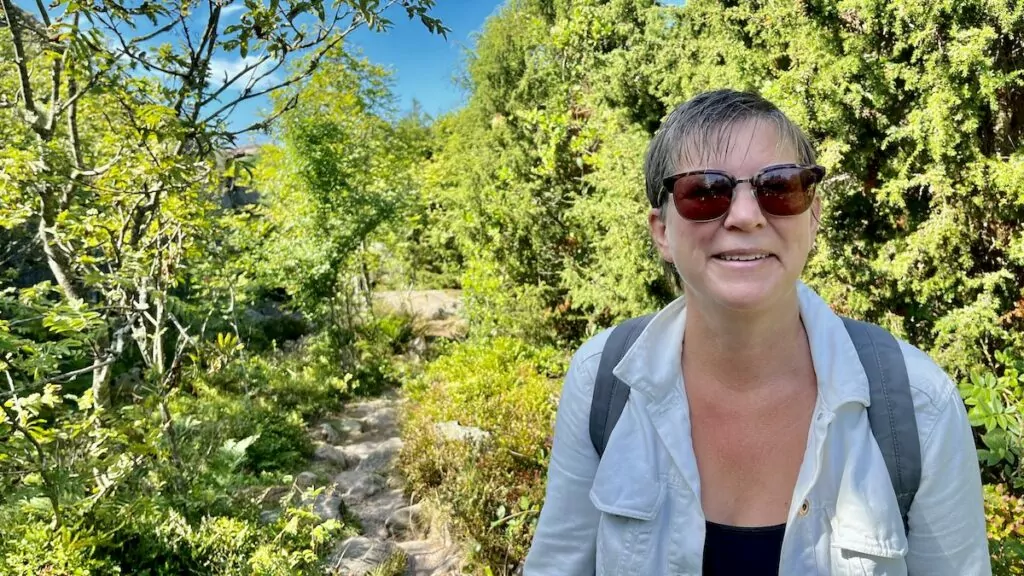
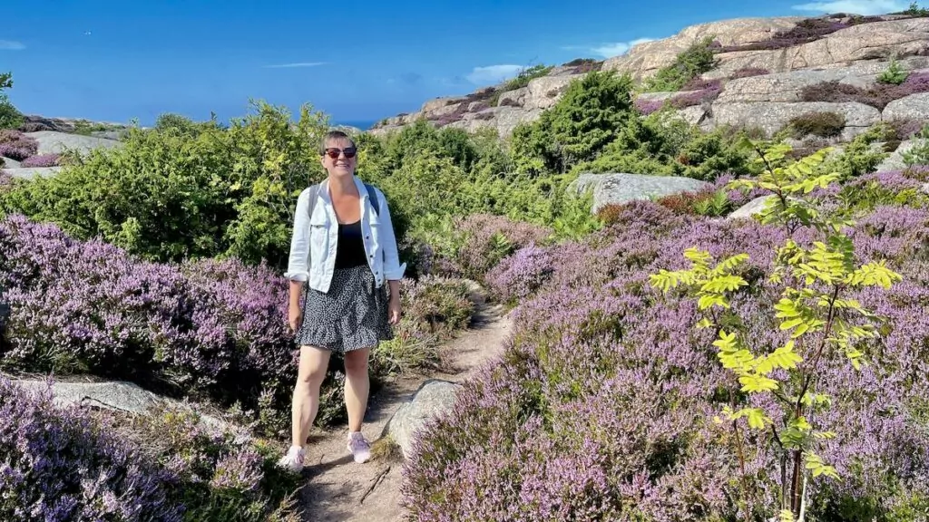
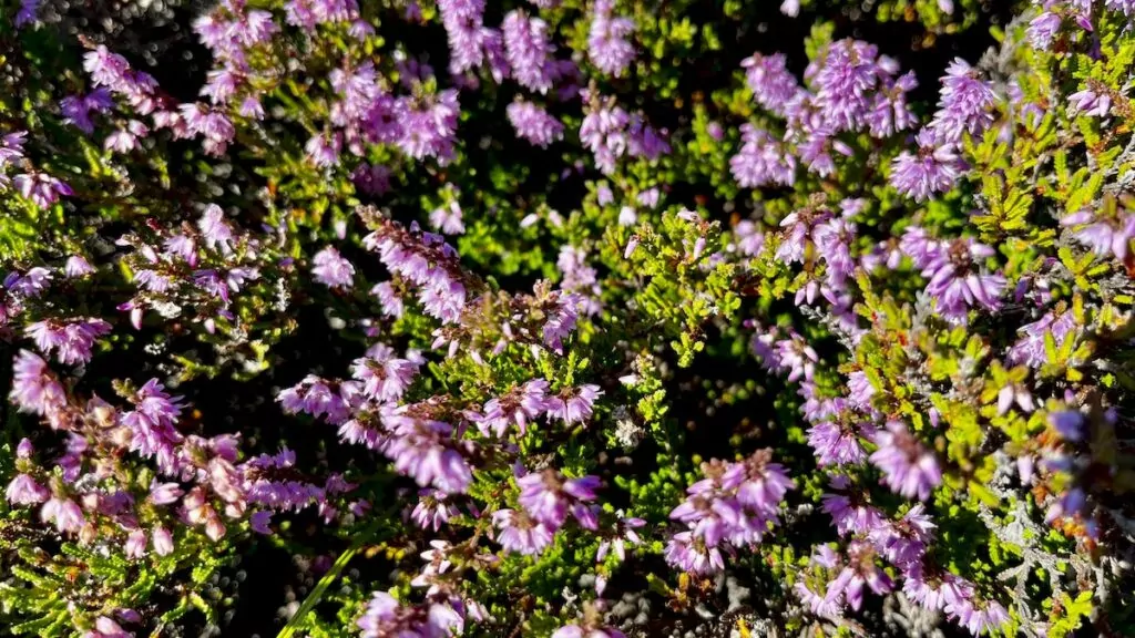
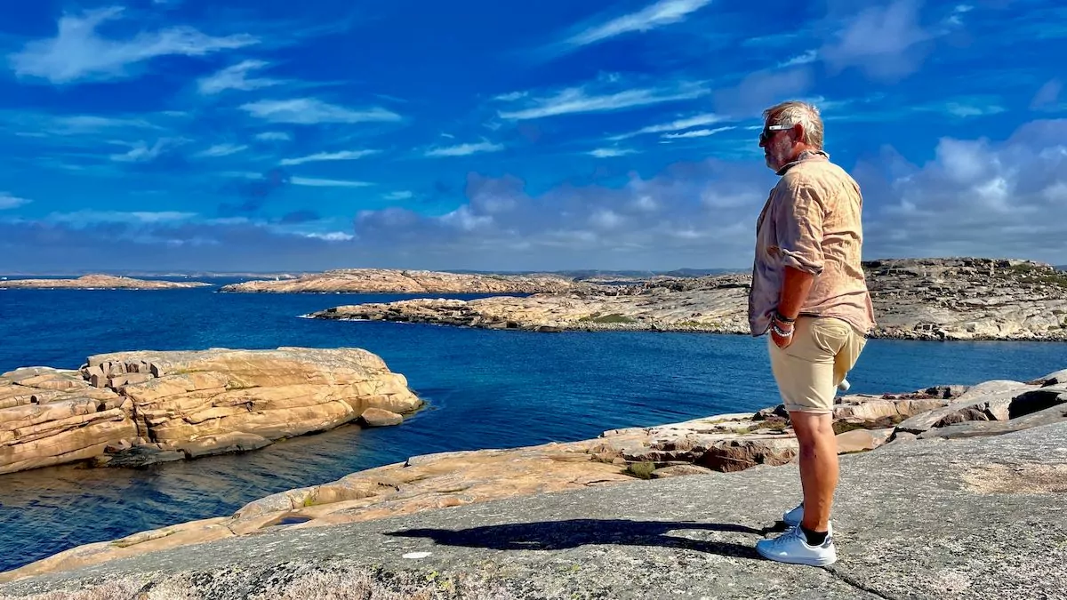
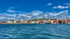
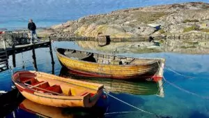
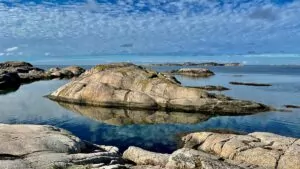
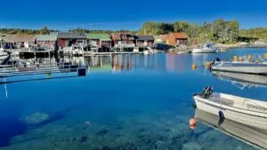
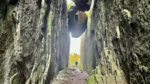
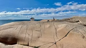
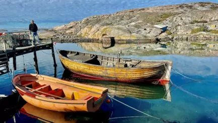
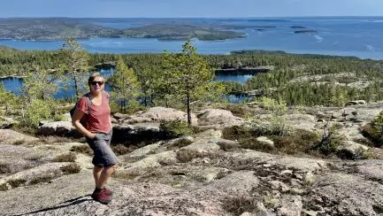
The nature here is really fantastic beautiful. The bare rocks make it a little barren, while the heather and greenery between the rocks add colour.
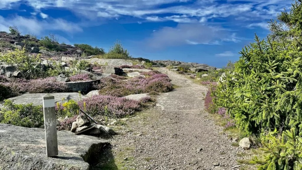
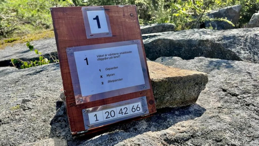
This is the kind of hike we like. The scenery is varied and the views are dramatic. In case you get bored, there is also a quiz along the trail.
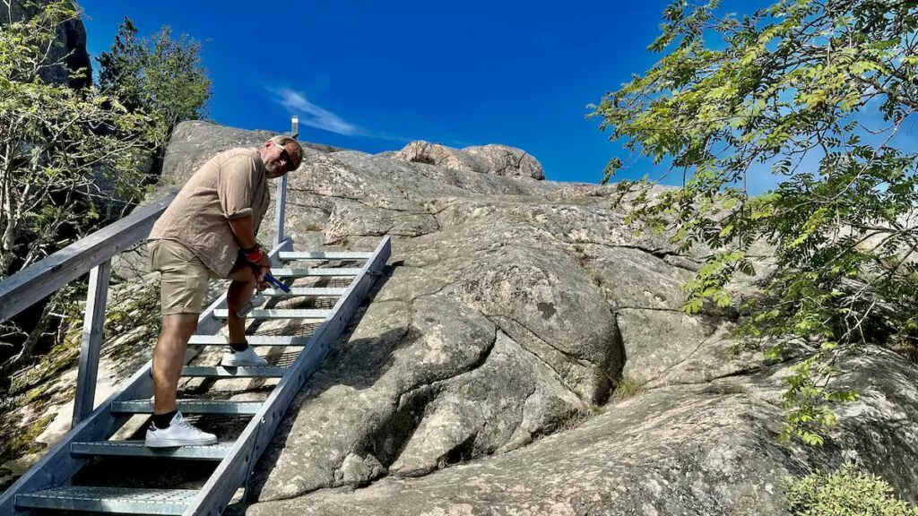
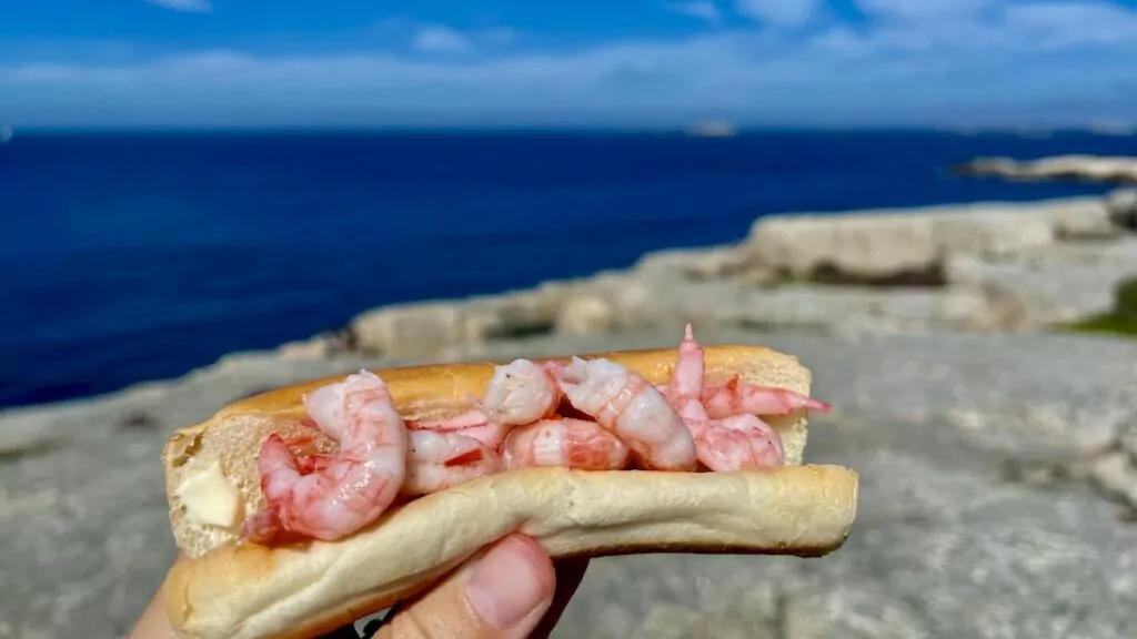
Since it was both hot and lunchtime when we left, we made sure to pack water and a packed lunch. The food bag was of the type "you take what you have" - sausage bread with mayonnaise and shrimp. It worked!
After walking the white trail, we actually left Ramsvikslandet, but the very next day we decided to come back. We wanted to see King Tryggve's grave!
Walk to King Tryggve's tomb
The next day we took the same route over the swing bridge over the Sote Canal, but after the canal we drove left instead of right. We then drove to the car park at the bottom of Nötö.
From the car park you have a fantastic view of the canal, and there were many people lined up to watch the traffic. And intense traffic it was! Sometimes we saw five or six boats at the same time.
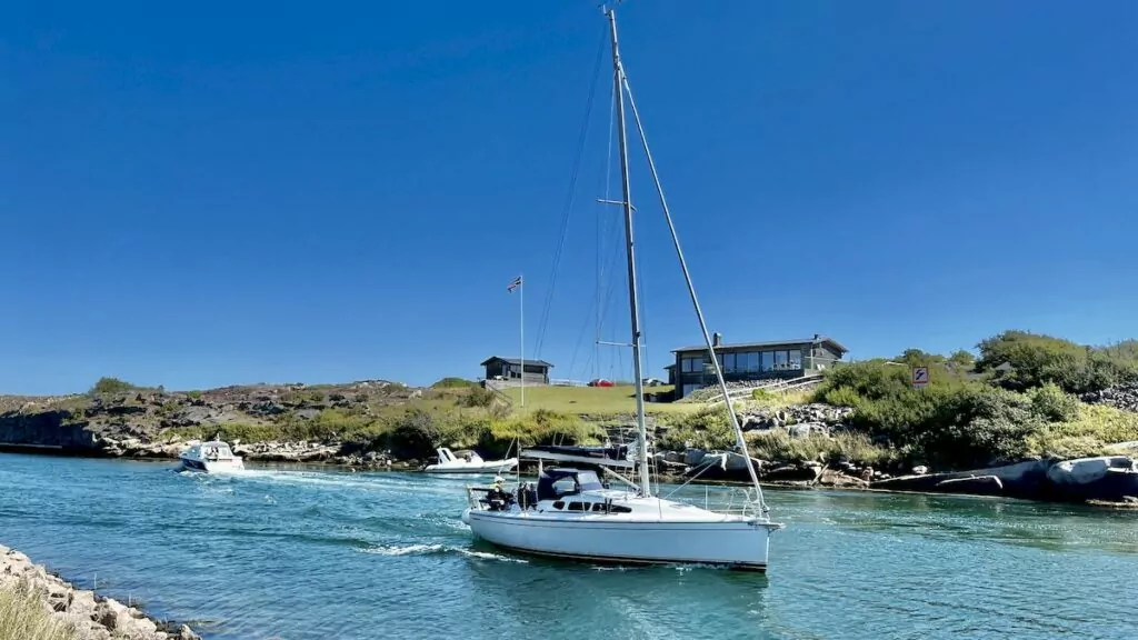
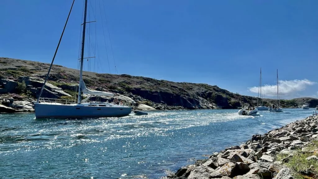
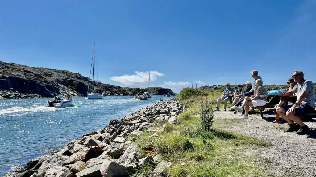
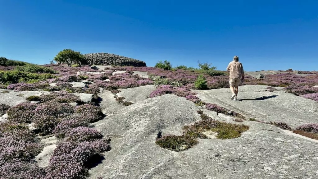
The walk to King Tryggve's tomb is not long at all. I don't think it's even a kilometre in one direction, but it's a bit exciting. Among other things, you have to cross from Nötö to Tryggö, which means that you have to wade, usually anyway.
The water level can vary, but often it is only around 15-20 cm deep. So it was quite easy to take off your shoes and cross to the other side!
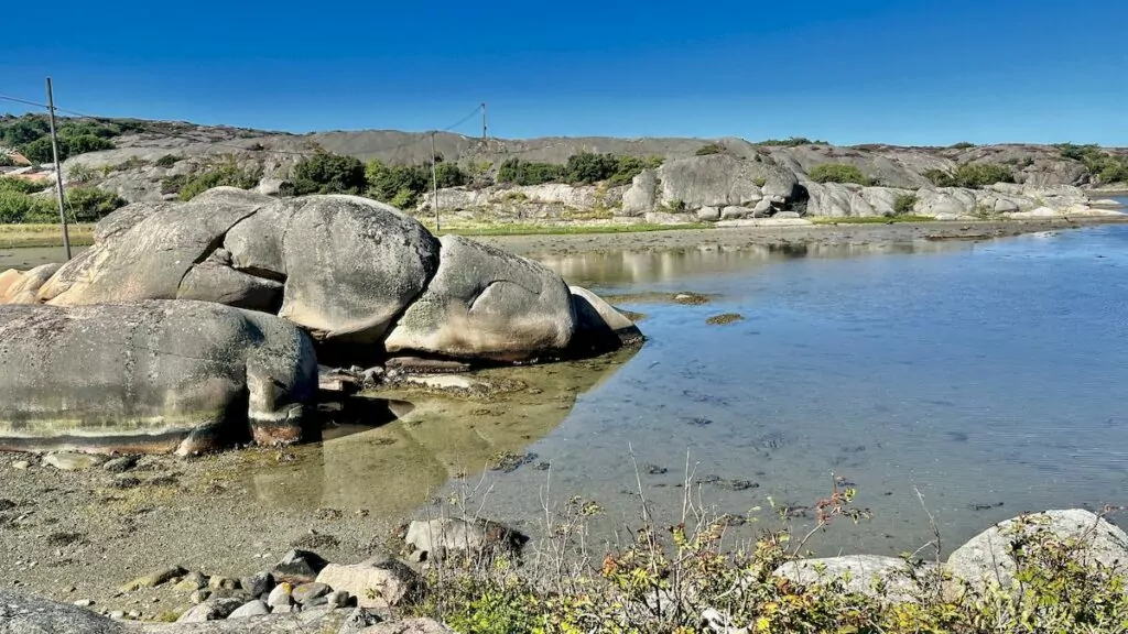
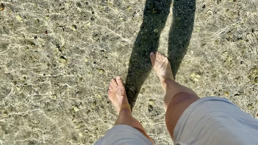
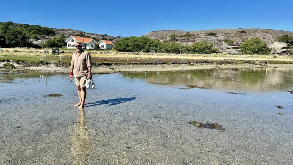
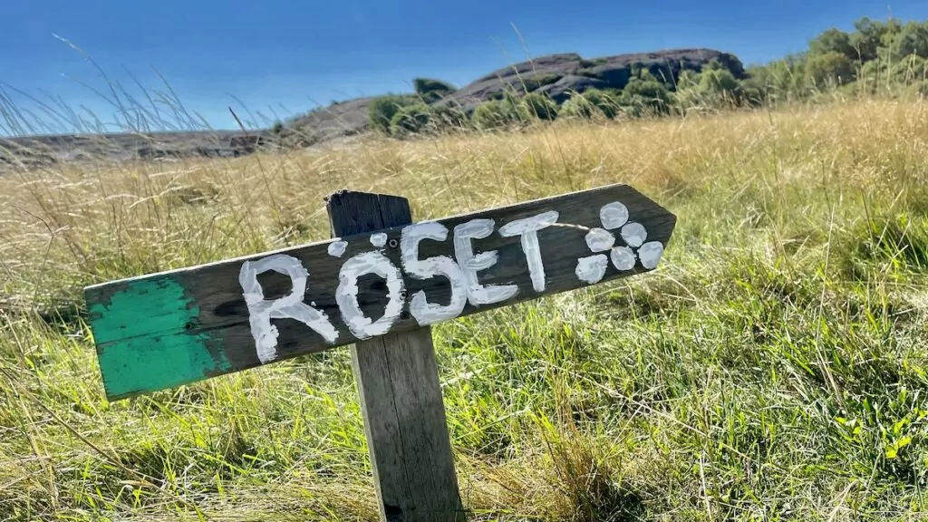
We must also say that it was very clearly signposted and easy to find King Tryggve's grave. But, who was King Tryggve?
Tryggve was a Viking king who was the grandson of the famous Harald Fairhair. King Tryggve ruled the kingdom of Viken, which included Bohuslän and part of Norway, and travelled to both Ireland and Scotland on Viking raids.
The Icelandic author Snorri Sturlasson wrote down the story of King Tryggve's death in the 13th century, so we know how it might have happened.
Both Tryggve and his cousin, King Gudröd of the neighbouring kingdom of Vestfold, had had their fathers murdered by Erik Blodyx. In 963, Gudröd sent word to Tryggve asking if they would go on a Viking raid together. However, Gudröd had other plans. When Tryggve arrived at the meeting place, an ambush was planned and Tryggve was killed by Gudröd's men. According to legend, he was then buried in the cairn on Tryggö. Not long after, his wife Astrid gave birth to a son - Olav Tryggvason - who became a legendary king of all Norway.
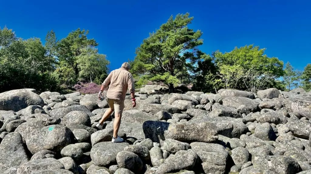
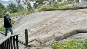
The tomb is impressive, but actually looks more like a Bronze Age tomb than a Viking tomb. Archaeological excavations also found no evidence of the Viking Age, so the stories of King Tryggve were long dismissed as just that - stories.
Then a man turned up who had owned a Viking spearhead in his family for several generations. He said that it had been plundered from King Tryggve's tomb, and it turned out that the stories could be true after all...
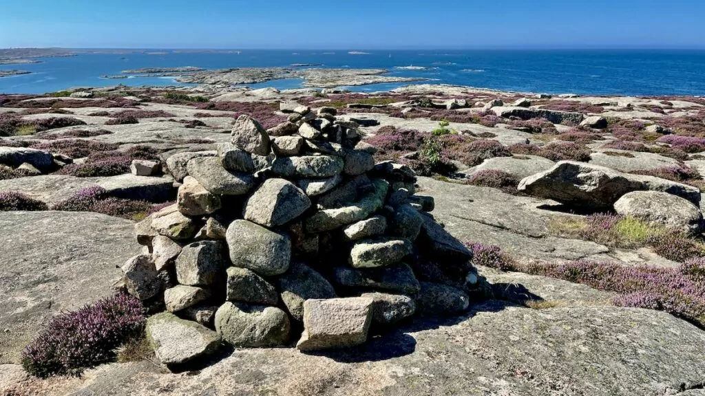
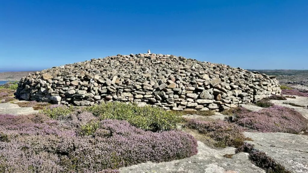
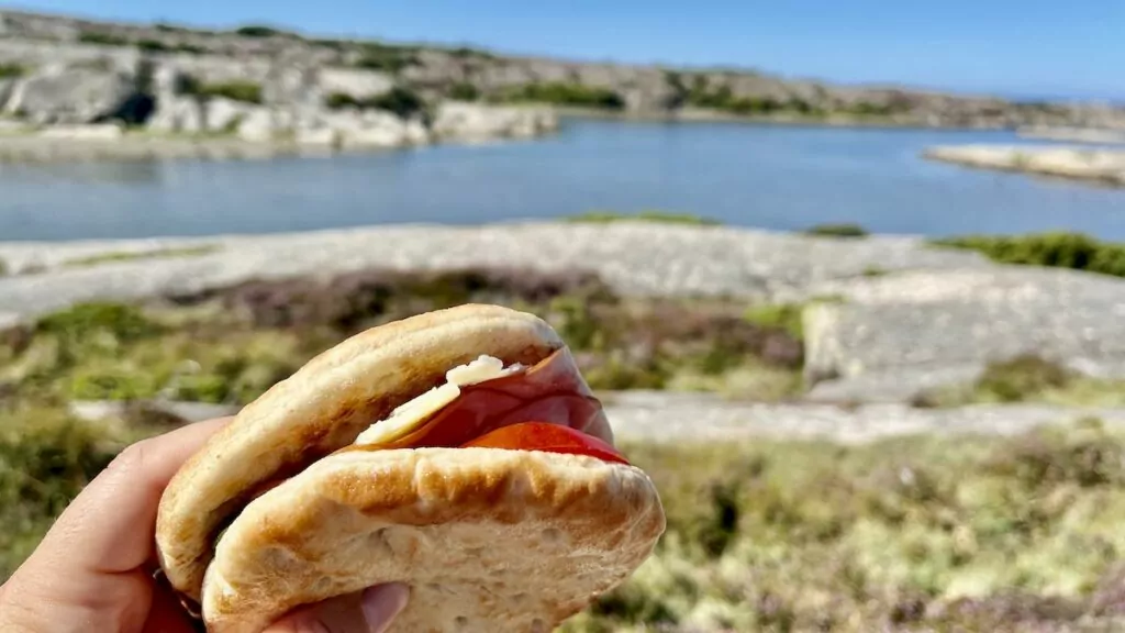
After admiring the impressive tomb, we once again had lunch on the rocks. The great thing about eating in nature is that even a simple sandwich with cheese and ham tastes good, don't you think?
Video from Ramsvik country
More to see and do in the neighbourhood
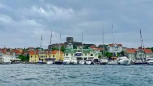
From Ramsvikslandet you are close to Smögen, King's Harbour and the island of Malmön. It is also close to Hunnebostrand and Hamburgsund. In other words, there are plenty of West Coast gems just around the corner.
Things to do in Grebbestad - 12 tips for the oyster mecca
What to see and do in Grebbestad? This charming west coast town offers an idyllic setting with...
Tureborgen in Uddevalla - an exciting ruin
Tureborgen in Uddevalla is an exciting ruin of a castle that looked medieval, but...
Things to do in Kungshamn - 11 tips for the resort town of Smögen
What to see and do in Kungshamn? This cosy west coast gem may not be as well known...
What to do on Orust - 15 tips for a beautiful island on the west coast
What to see and do on Orust? This beautiful west coast island offers a wonderful environment ...
What to do on Tjörn - 17 tips for a lovely island in Bohuslän.
What to see and do on Tjörn? This scenic island is located on the west coast, in Bohuslän,...
Trollhätte canal by motorhome - a journey along the Göta river
Trollhätte Canal by motorhome, how does it work and what can you see along the way? This summer...
MUMA Mural paintings on Orust - stories about women
MUMA Muralmålningar (Mural Modern Art) is an art project that highlights women in the rural areas of eastern Orust....
A lovely boat trip with M/S Donalda in Grebbestad.
What a wonderful boat trip with M/S Donalda in Grebbestad! When we arrived in Grebbestad we had no...
Rock carvings in Tanum - a Unesco World Heritage Site
Rock carvings in Tanum will be the topic today. Soooo exciting! Imagine that our ancestors sat and ...
Things to do in Hunnebostrand - 19 tips for an archipelago idyll
What to see and do in Hunnebostrand? This delightful archipelago idyll offers dramatic scenery, picturesque...
Street art in Strömstad - Artscape Lighthouse
We checked out street art in Strömstad. Last summer, "Artscape Lighthouse" in Strömstad and...
Tjurpannan nature reserve - western coastal idyll in Grebbestad
Tjurpannan Nature Reserve is located just north of Grebbestad in Bohuslän and is a real West Coast idyll. Here we meet...
Bohusläns museum in Uddevalla - an interesting visit
Bohusläns museum in Uddevalla is a really nice museum, which tells about the culture and history of the area....
What to do in Strömstad - 17 tips for Sweden's westernmost town
What to see and do in Strömstad? This town in Bohuslän, which is Sweden's most...
Things to do in Smögen - 17 tips for the seafood mecca
What to see and do in Smögen? This lovely west coast town is truly a seafood mecca. Plus...
Käringön in Bohuslän - an idyllic island off the coast of Orust.
Käringön is an idyllic island off Orust in Bohuslän. Here you can sunbathe and swim, walk...
Hafsten Resort & Camping in Uddevalla - scenic camping luxury
Hafsten Resort & Camping is located in a scenic location on the west coast and offers camping, swimming, nature experiences, adventurous activities and...
Öckerö Islands - by campervan in the Gothenburg archipelago
The Öckerö Islands in the Gothenburg archipelago consist of around ten islands, four of which are connected by...
The Swedish Bohuslän Road - FREEDOMtravel Themed Roads
Svenska Bohuslänsvägen is a themed road that takes you through Bohuslän, to experience the beautiful...
Hamburgsund - West Coast charm and seafood feast
Hamburgsund is a cosy little town on the west coast, with high cliffs, boats, red cottages and a...
Visiting the Koster Islands in Bohuslän - a lovely trip!
Visiting the Koster Islands can be a really wonderful excursion! The scenic Koster Islands are located just outside Strömstad,...
Carlsten's fortress on Marstrand - an exciting attraction
Carlsten's Fortress on Marstrand is an exciting attraction, offering fascinating historical environments and captivating...
Bohus Fortress - the castle that survived 14 sieges
Bohus Fortress has been defended by Norwegians, Danes and Swedes and has been subjected to a total of 14 sieges -...
From Varberg to Hunnebostrand in a motorhome - with foreign guests
The second part of our motorhome trip in Sweden, together with our South African friends, went from Varberg...
The King's Gap in Fjällbacka - The Wolf Claw in Ronia the Robber's Daughter
The King's Gorge in Fjällbacka is a dramatic gorge in Vetteberget, named after a visit...
Dyrön in Bohuslän - a lovely archipelago island outside Tjörn.
Dyrön, or Stora Dyrön as the island is actually called, is a lovely and scenic archipelago island off Tjörn,...
Things to do in Uddevalla - 17 tips for the heart of Bohuslän
What to see and do in Uddevalla? This west coast town is often called the 'heart of Bohuslän' and...
Things to do in Lysekil - 20 tips for a West Coast gem
What to see and do in Lysekil? This gem on the west coast offers beautiful cliffs,...
Skaftö in Bohuslän - Grundsund and Fiskebäckskil
Skaftö, or Skaftölandet as it may actually be called, is a charming island on the west coast, where you...
Have you visited Ramsvik country?
Have you visited Ramsvik Land? How was your experience? Please tell us!
Facts about Ramsvik country
- Size: Approximately 2 729 hectares
- Formation: 2006
- Municipality: Sotenäs
- Trustee: West Coast Foundation
- Channel: Sotenä Canal
- Worth knowing: The site is part of the EU's ecological network of protected areas, Natura 2000.
- More info: You can read more at the site's website.
Animals and nature
- Nature: Cliffs, heather moors, damp moors, small wetlands, meadows, deciduous groves and small-scale agricultural landscapes.
- Rocks: Red Bohus granite with interspersed veins of diabase, rhombic porphyry and pegmatite.
- Traces of the ice sheet: Round plates, giant pots, ice runners, cutting troughs and more.
- Plants: Fat-leaved plants, beach poppy, sand violet, little cinquefoil, spring cinquefoil, coastal arum, seaweed, beach drift, wild flax, knotweed, evening primrose, creeping violet, barnyard grass, maidenhair fern, coral root, cowslip, c´vippstarr, back onion, back buttercup, strawberry clover, various gentian species and more.
- Birds: Wading birds, storm petrel, gannet, black-legged kittiwake, cormorant, guillemot, storm petrel, grey martin, great skua, meadowlark, sea squirrel, long-tailed duck, blackbird, stonechat, skylark, corncrake, wagtail, goldfinch, skylark, snow bunting, red squirrel and others.
- Small animals: Butterflies, dragonflies, damselflies, lesser caterpillars and more.
Services in Ramsvik country
- Toilets: There are toilets in Tångevik, Grosshamn and Långetången.
- Parking: Car parks are available in several locations, for a fee. You pay by app. Please note that you cannot park at night, between 00:00 and 04:00.
- Rest areas: Rest areas are located next to the car parks.
- Accommodation: Ramsvik cottage village & campsite and Ramsvik farmhouse (self-catering cottage or apartment).
- Food service: Restaurant, kiosk and small grocery store at Ramsvik holiday village & campsite.
Activities in Ramsvik country
- Hiking: There are several trails of different lengths, from 700 metres to 14.5 kilometres (Kuststigen, Soteleden).
- Bada: There are several places to swim, including Haby Bay and Tryggö.
- Attractions: The Sote Canal, the Sote Bonde viewpoint, King Tryggve's grave, the cave on Tryggö, the giant pots, the red granite cliffs at Öberg Tånge, the cave at Öberg Tånge, the Slussport stone, Grosshamn, Fykan, the 18th century Mor Lena's cottage and traces of the ice sheet.
Rules in Ramsvik country
Certain rules must be observed in the nature reserve. In addition to general laws, it is forbidden to
- making a fire other than in a designated area
- drive a motorised vehicle other than on designated roads
- setting up a caravan or motorhome
- carry an unleashed dog
- camping in places other than those designated and organised by the manager, for a maximum of two days (there is currently no designated site).
- moor in a natural harbour for more than three days
- park motorised vehicles, caravans or similar outside designated parking spaces. In the designated car parks, caravans, camper vans or similar may not be parked between 00:00 and 04:00.







BP says:
I didn't realise there was a place called Ramsvikslandet. How beautiful it is. Once again a completely different nature than the east coast.
Oh yes, a simple sandwich and lots of water works when hiking. Then I must say that it was very brave of you to bring shrimp in the heat. But it went well too:-)
20 August 2022 - 19:42
bmlarstravellingblog says:
Ramsvikslandet is another favourite in Bohuslän. We have hiked here several times and like the southwestern part, south of Fykan best with large granite rocks. In 2020 we walked the yellow loop and it was not entirely easy. It was to jump from one large stone to another, but so nice!
We have never waded over to Tryggve's grave because we have often been here in May = cold water and higher water level. Of course it is beautiful!
20 August 2022 - 21:17